Butler Maps
Idaho Backcountry Discovery Route (IDBDR) Map – V3
Idaho Backcountry Discovery Route (IDBDR) Map – V3
Couldn't load pickup availability
Back in Stock Jan 2024
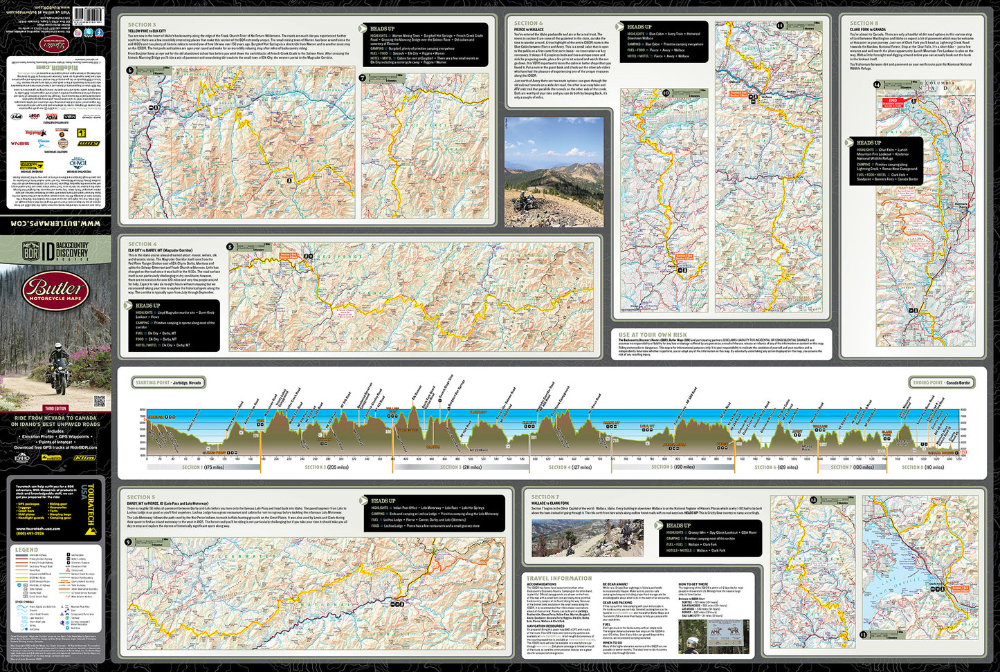
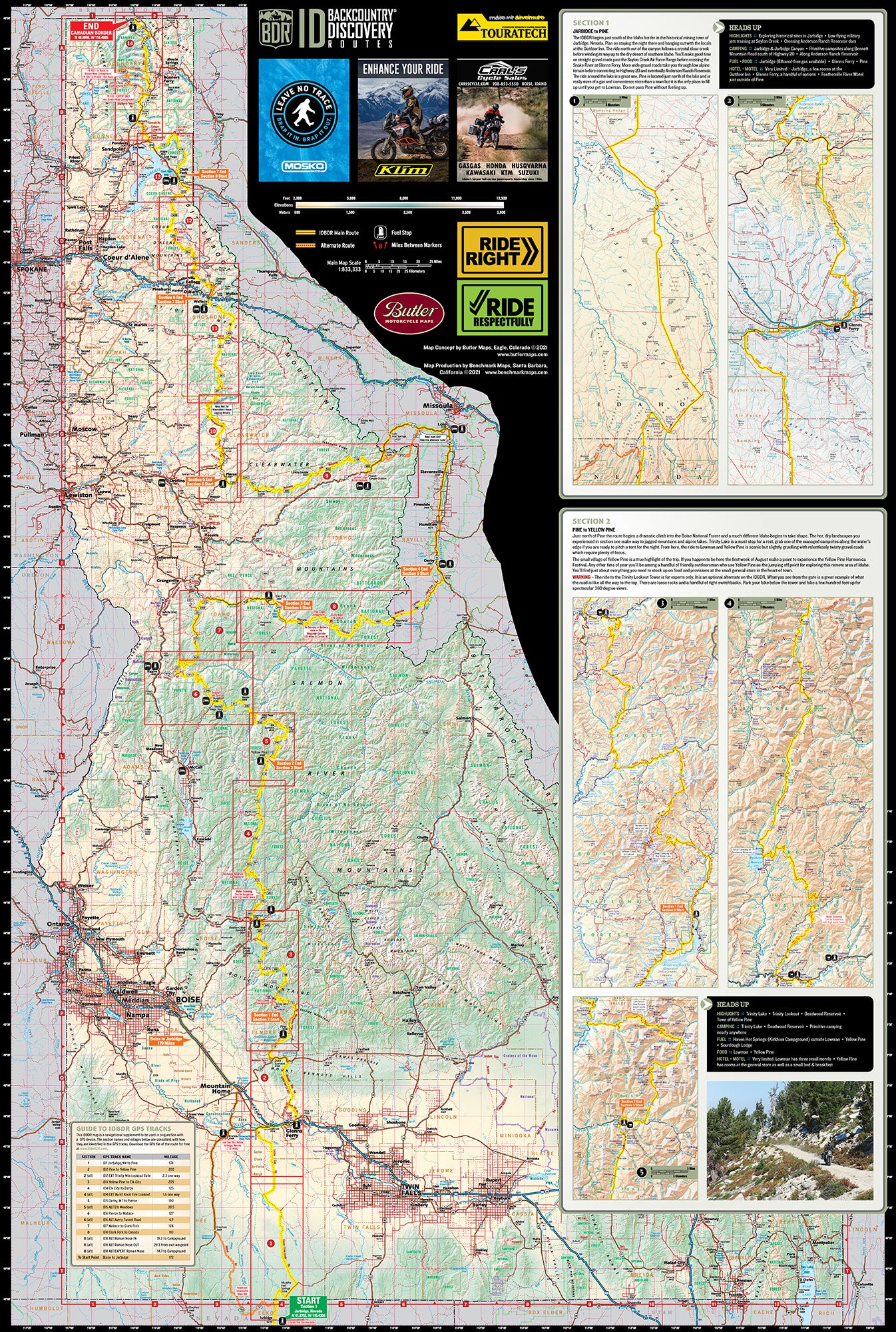
The Map. Rugged & Small. Designed for Motorcycle Travel.
- Waterproof / Tear Resistant The road can be tough on your gear. Butler Maps are designed to withstand abuse.
- Packs Easily Each Butler Map folds to 4.25” x 9” to easily fit in tank and tail bags. Butler Maps can be folded to fit within map cases.
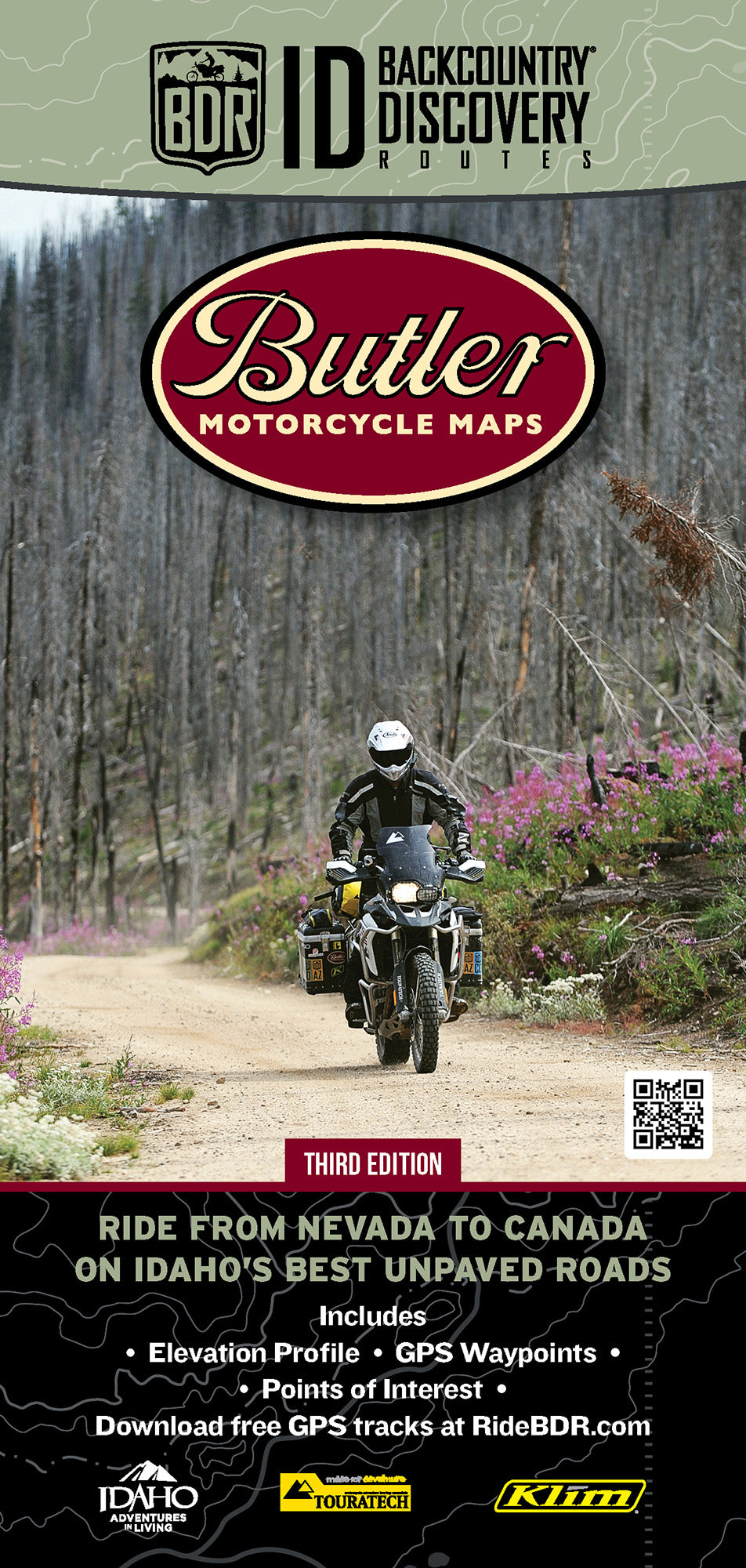
If you’ve ever wanted to ride endless twisty mountain roads, the Idaho BDR will throw corners at you for days on end. You also won’t get many digital interruptions because your cell phone won’t have reception on much of this route. It’s a true off- the-grid ride that is long enough, at 1,250 miles, that you might just use up an entire rear knobby tire.
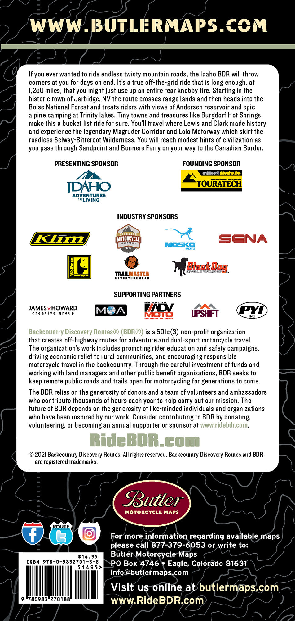
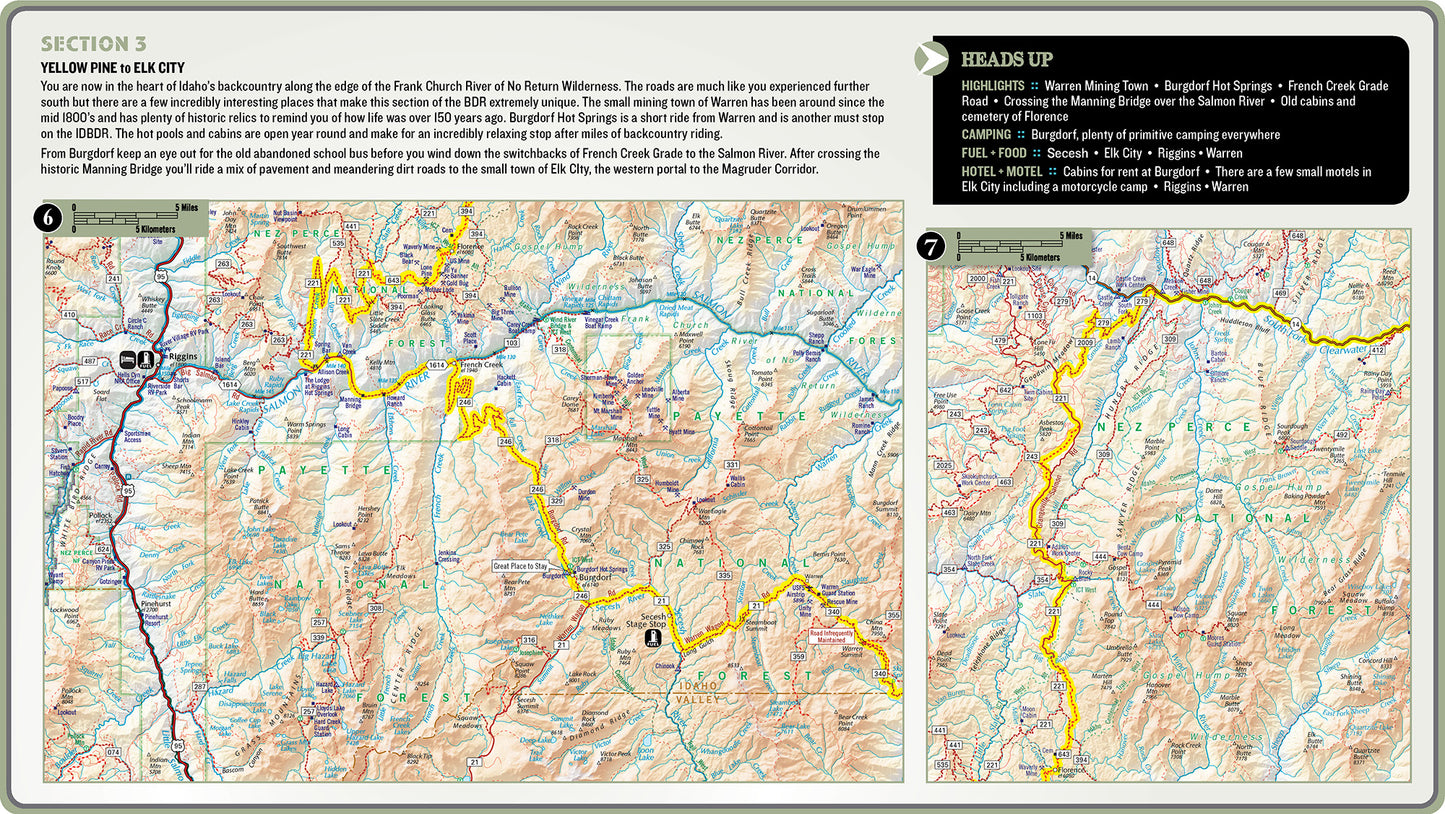
Starting in the historic town of Jarbidge, NV the route crosses range lands and then heads into the Boise National Forest and treats riders with views of Andersen reservoir and epic alpine camping at Trinity lakes. Tiny towns and treasures like Burgdorf Hot Springs make this a bucket list ride for sure. You’ll travel where Lewis and Clark made history and experience the legendary Magruder Corridor and Lolo Motorway which skirt the roadless Selway-Bitteroot Wilderness. You will reach modest hints of civilization as you pass through Sand Point, Bonners Ferry on your way to the Canadian Border.
|
Weight |
.22 lbs |
|
Dimensions |
9 × 6 × .25 in |
Share
